Log in
All resources
Create a design
2,877 Free Images of Nova Scotia
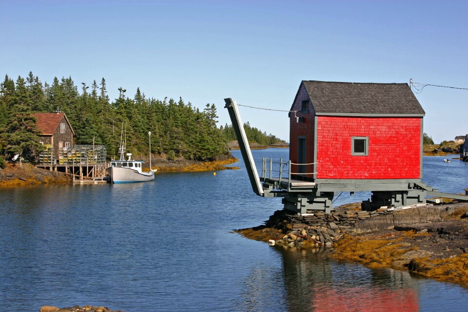
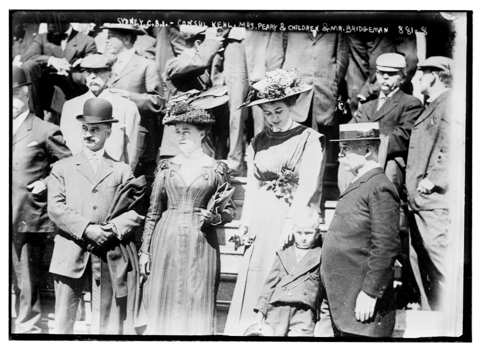
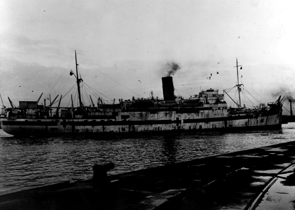
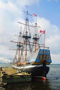
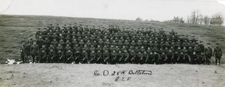
historical
history
canada
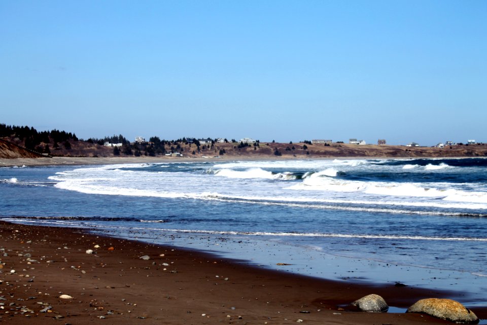
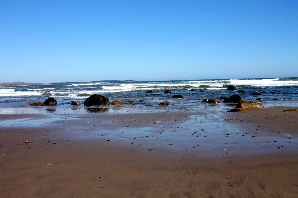
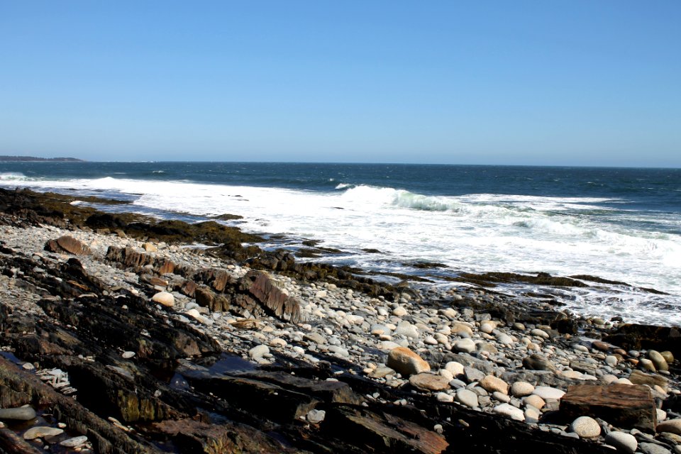
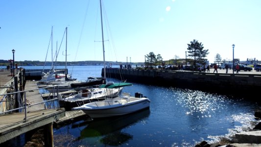
water
sea
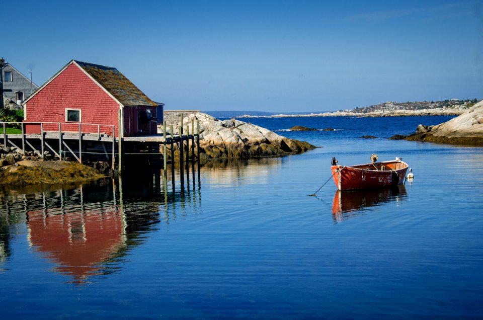
boat
waterfront
ocean
shore
coastline
canada
boat
water
boat
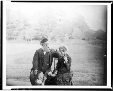
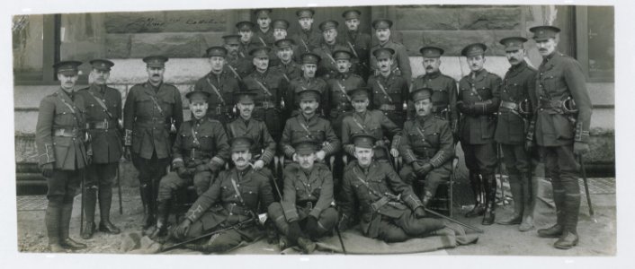
historical
history
historical
history
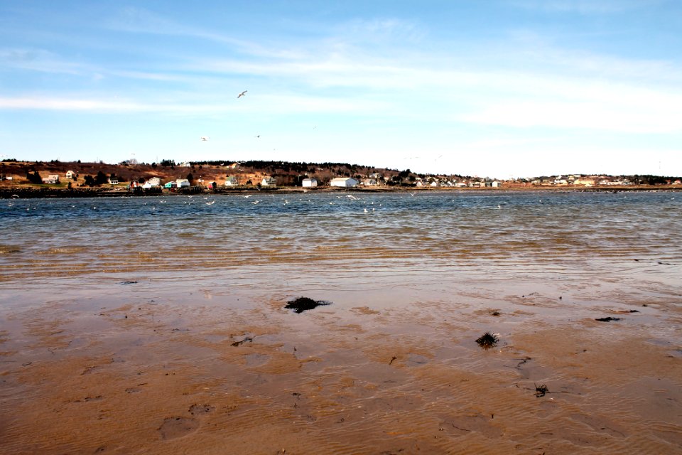
water
sea
water
sea
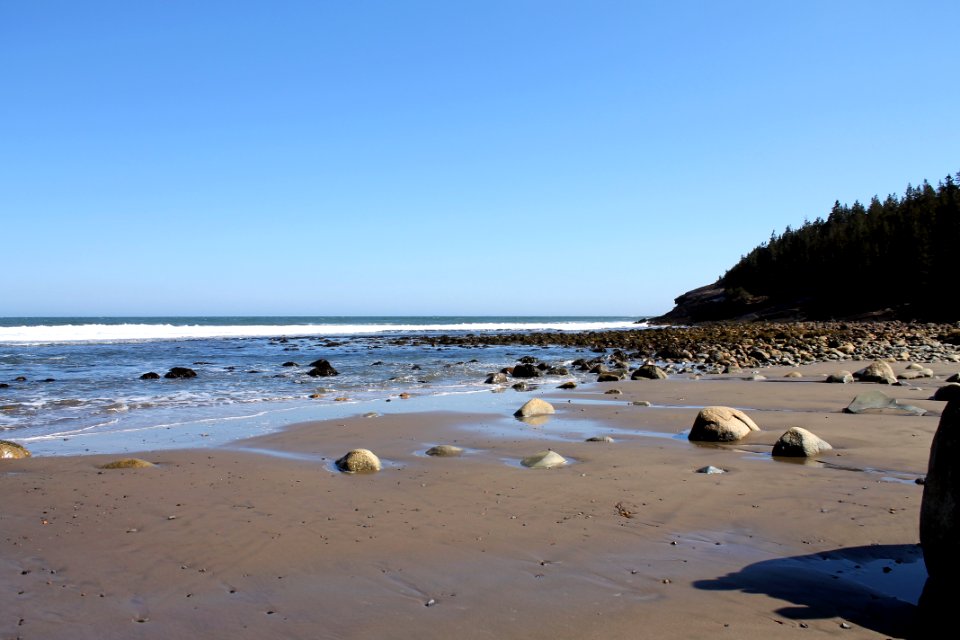
water
sea
water
sea
water
fish
water
boat
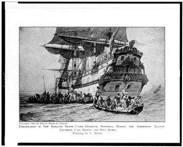
paintings of ships by antonio jacobsen
maritime museum of the atlantic
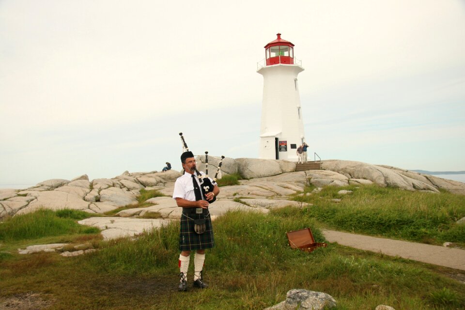
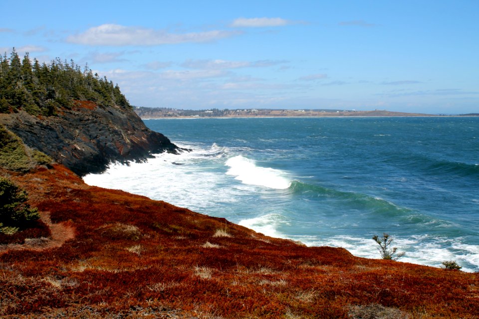
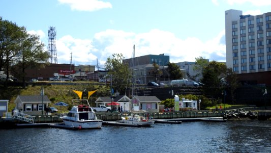
landscape
travel
landscape
sea
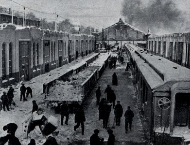
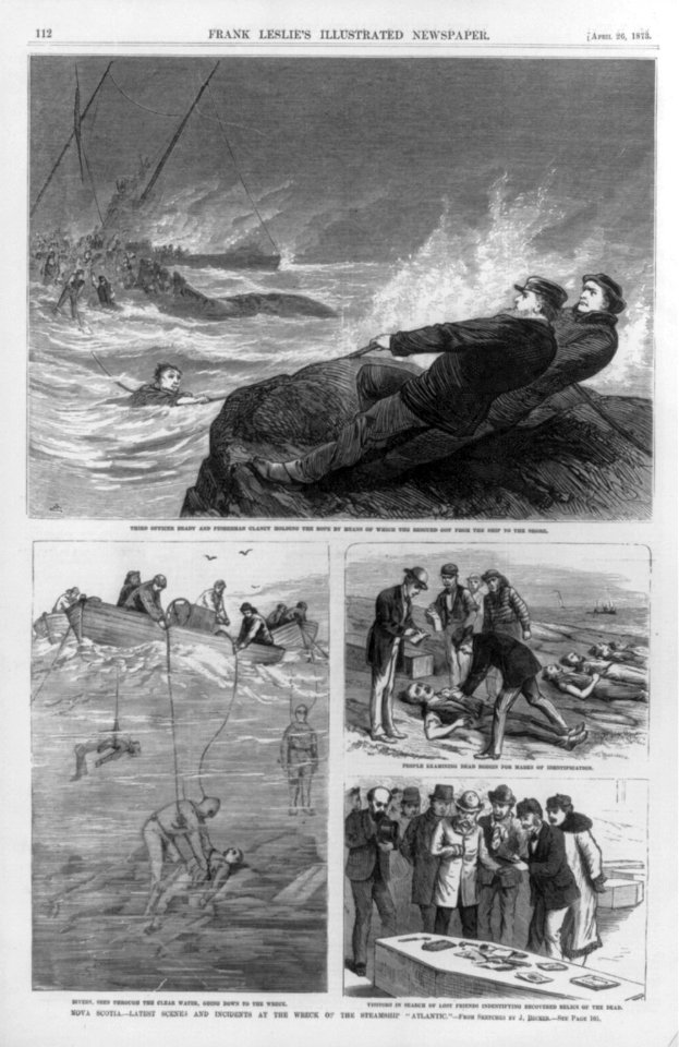
historical
history
vehicle
water
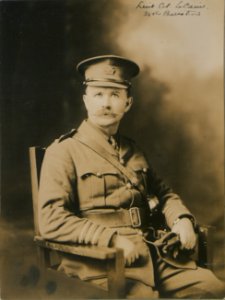
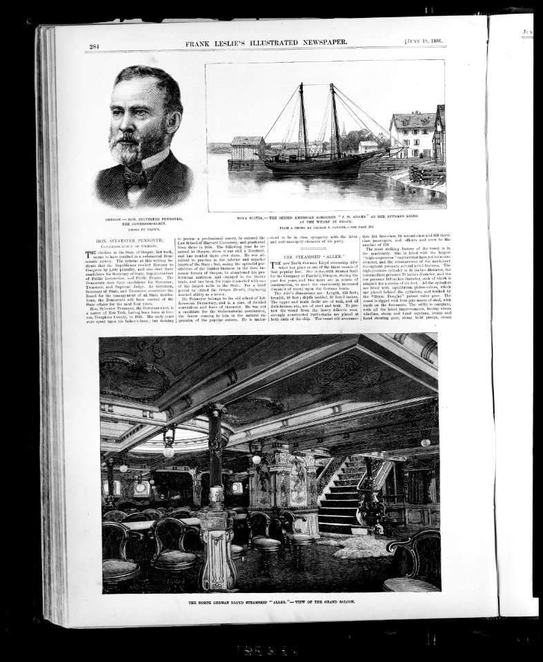
historical
history
architecture
canada
blue sky
water
historical
history
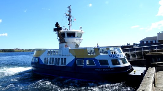
vehicle
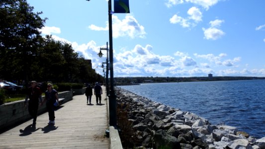
water
water
boat
water
boat
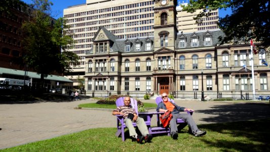
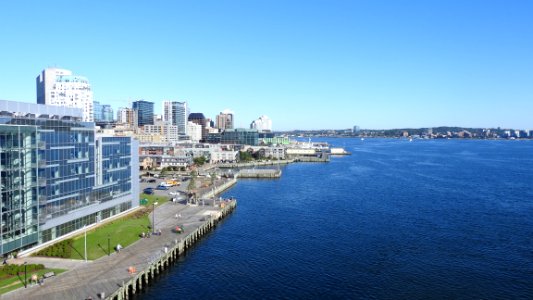
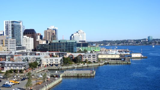
skyline
city
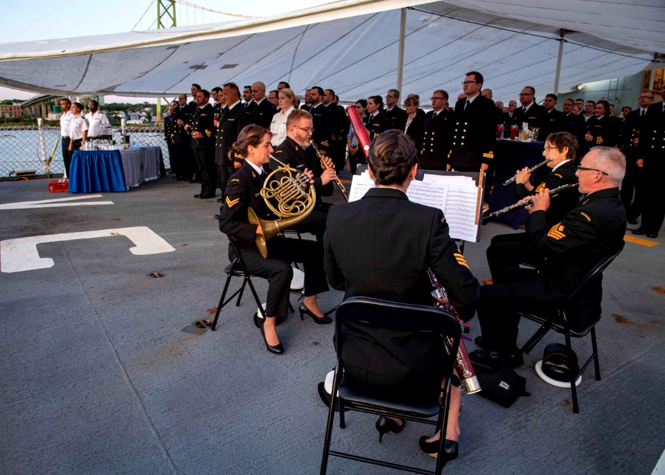
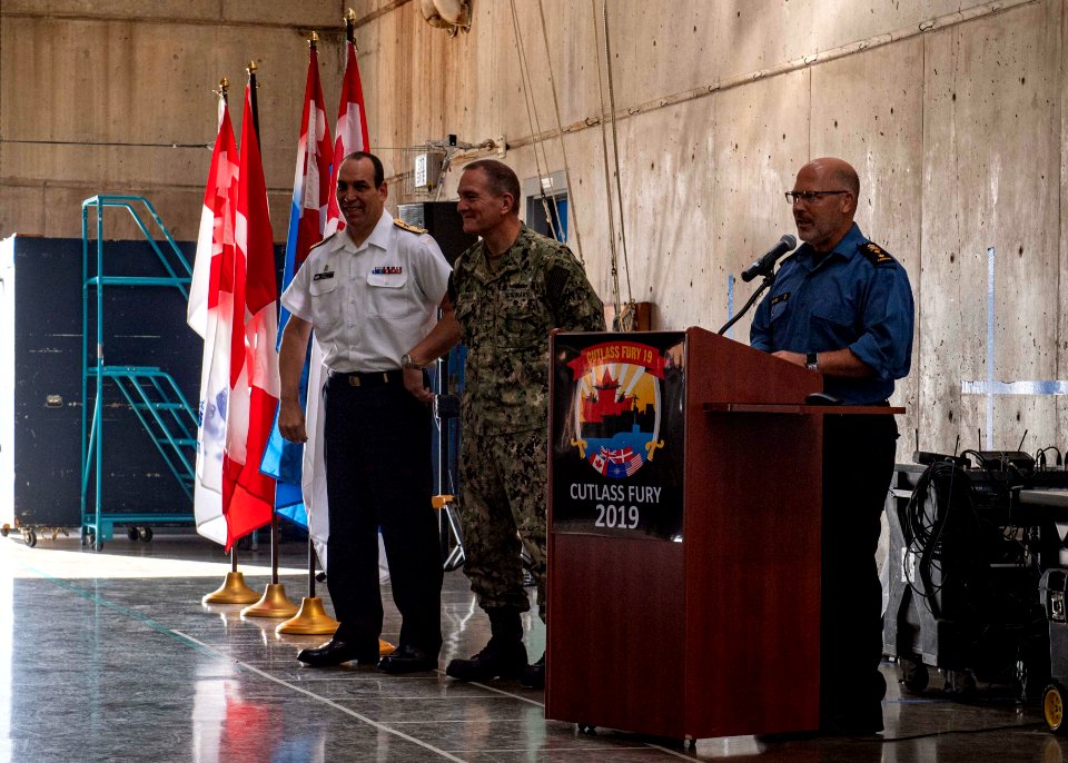
alliedmaritimecommand
nato
alliedmaritimecommand
nato
alliedmaritimecommand
nato
alliedmaritimecommand
nato
skyline
water
skyline
boat
window
bird
historical
history
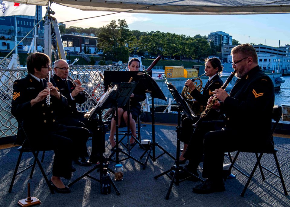
alliedmaritimecommand
nato
alliedmaritimecommand
nato
yountville
napa
vehicle
water
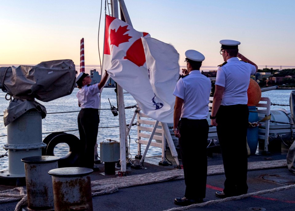
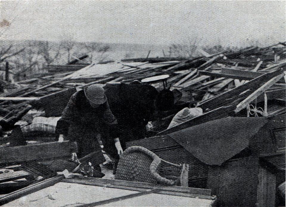
historical
history
historical
history
historical
history
historical
history
historical
history
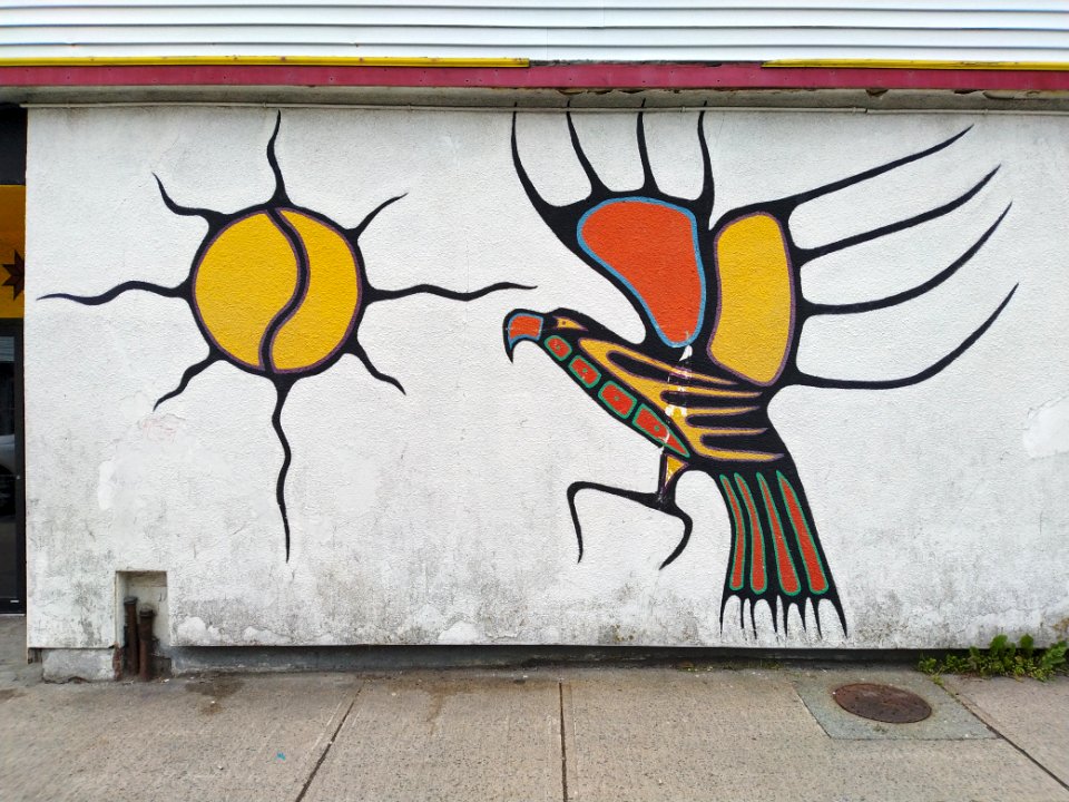
street art
pavement
prints in library and archives canada
louis haghe
building
fish
daguerreotype portraits of canada
1851 portrait photographs of men
historical
history
historical
history
historical
history
historical
history
historical
history
historical
history
historical
history
maps of the world with orthographic projection
maps of the world without antarctica
background
building
daguerreotype portraits of canada
1851 portrait photographs of men
historical
history
historical
history
camptorhynchus labradorius (illustrations)
extinct birds (rothschild book)
george prévost
robert dighton
lawrence h. slaughter collection of english maps, charts, globes, books and atlases
nypl lionel pincus and princess firyal map division
maps in the library of congress
1771 maps of north america
historical
history
maps in the library of congress
1771 maps of north america
maps in the library of congress
1763 maps of north america
monument
stones
paintings by thomas davies in the national gallery of canada
fort charnisay
landscape
building
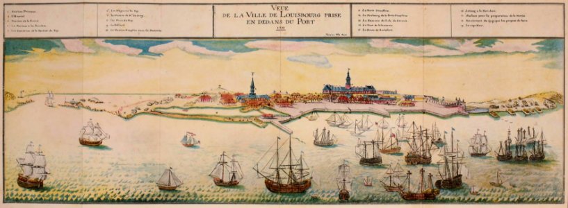
a map of the british empire in america with the french and spanish settlements adjacent thereto
bibliothèque nationale de france
a map of the british empire in america with the french and spanish settlements adjacent thereto
bibliothèque nationale de france
a map of the british empire in america with the french and spanish settlements adjacent thereto
bibliothèque nationale de france
a map of the british empire in america with the french and spanish settlements adjacent thereto
bibliothèque nationale de france
a map of the british empire in america with the french and spanish settlements adjacent thereto
bibliothèque nationale de france
maps in the library of congress
1752 maps of north america
george ramsay, 9th earl of dalhousie
1832 paintings in the united kingdom
library
beetle
19th-century sailing ships in paintings
joseph heard
1747 maps of new hampshire
english-language maps
butterfly
insects
2801 - 2877 of 2,877
/ 29


![Caption: "[No. 4] H.M.S. Shannon Leading Her Prize the American Frigate Chesapeake into Halifax Harbour.", Louis Haghe, circa 1830.](https://cdn.creazilla.com/illustrations/10000639596/caption-no-4-hms-shannon-leading-her-prize-the-american-frigate-chesapeake-into-halifax-harbour-louis-haghe-circa-1830-md.jpg)